
Technical and journalistic analysis of how Flight Radar works: origins, technologies, uses, limitations, security, and prospects for flight tracking.
The concept of Flight Radar: tracking the sky without traditional radar
Flight Radar, often referred to as Flightradar24, is a Swedish real-time aircraft tracking service. Its concept is based on a simple idea: to allow anyone to view the movements of aircraft from a connected screen. Created by two enthusiasts in 2006 as a hobby project, it quickly grew into a network of ADS-B antennas and became a global benchmark.
The origins of Flight Radar: from a bird-watching project to a global platform
Flight Radar was born out of a Swedish flight comparison website. Two enthusiasts added an ADS-B receiver to their roof to display passing aircraft. In 2009, the network was opened up to volunteer contributors, and during the volcanic eruption of 2010, access to real-time data sparked media interest. From there, the service became a popular platform, used by millions every day.
The basic technology: ADS-B at the heart of tracking
The operation of Flight Radar is primarily based on ADS-B technology in aviation. Each aircraft equipped with an ADS-B “out” transponder broadcasts its position, altitude, speed, heading, and registration number using GNSS data. These transmissions are received by ground stations (or satellites), then centralized and displayed. ADS-B offers greater accuracy and reliability than conventional radar.
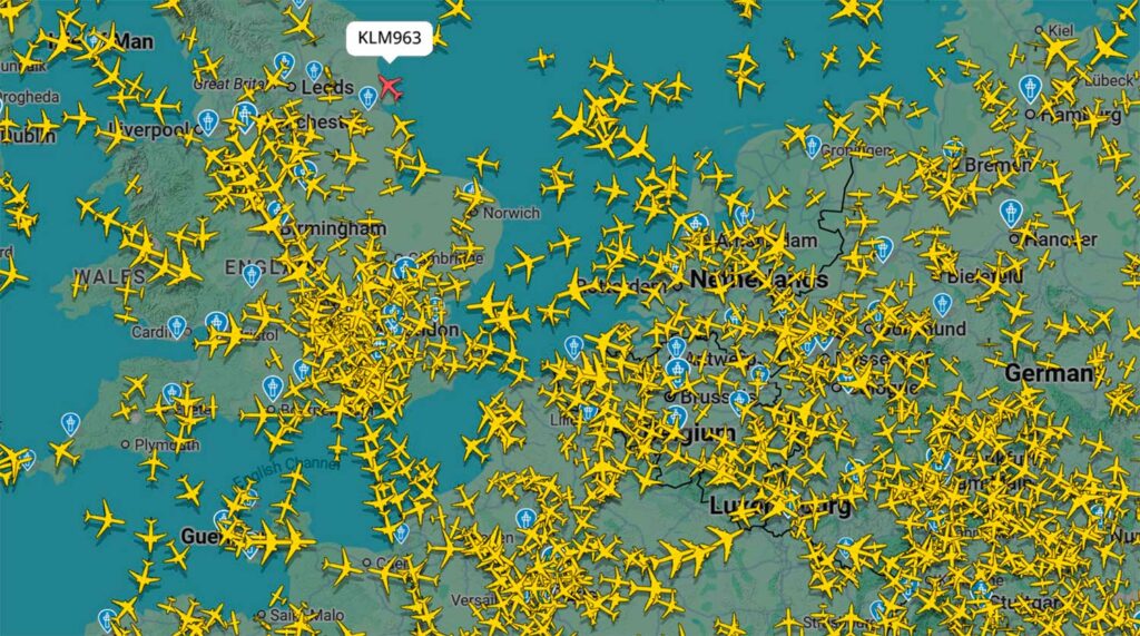
Tracking and the global network
Real-time aircraft tracking relies on a network of more than 40,000 ADS-B receivers, most of which are provided by volunteers. Each station covers approximately 250 to 450 km around it, depending on its location. In areas with a high density of receivers, the system also incorporates Multilateration (MLAT): a triangulation method based on the difference in arrival times of “Mode S” transponder messages. This allows even non-ADS-B equipped aircraft to be identified.
Types of aircraft tracked and tracking visualization
Tracking mainly concerns modern commercial aircraft, large carriers, and private jets, virtually all of which are equipped with ADS-B. In areas with poor coverage, satellites and radar feeds (United States, Canada, Australia) supplement the data. The data is then presented on an interactive map accessible via a browser or app. The interface displays flight paths, altitude, speed, aircraft type, airline, origin and destination, all updated in near real time.
Practical uses of Flight Radar
The service is aimed at a wide audience, from curious passengers to aviation professionals. It allows users to view real-time information about an aircraft, which is useful for tracking flights, analyzing air traffic, or for the media in the event of an incident. It is also used in logistics, training, and post-flight analysis.
The dangers of tracking and the limitations of the tool
Public tracking raises security and privacy issues: some sensitive aircraft (armed forces, government) need to be hidden. Flightradar24 blocks this data at the request of the relevant authorities.
Technical limitations remain: geographical blind spots (oceans, remote areas), dependence on ADS-B (excluding some older models), delays related to MLAT (approximately 30 seconds), and site saturation during major events (official flights, disasters).
Comparisons: realistic or fanciful tracking?
Flight Radar provides a fairly realistic picture of global air traffic. It surpasses traditional radar in terms of coverage and accuracy. However, its reliability depends on the density of receivers and the data available. It is a powerful tool, but not an absolute tracking system, and should be interpreted with caution, especially when anomalies occur. Despite this, its use by independent observers and the press enhances understanding of air traffic.
Future coverage: satellites and developments
The project is moving towards complete coverage using ADS-B satellite receivers, such as those used in the Aireon program. This low-orbit network would make it possible to track aircraft even over oceans, without any ground infrastructure. This innovation would improve the accuracy, range, and consistency of real-time aircraft tracking.
Flight Radar also illustrates the convergence between open data, accessible technology, and passion. It shows that aviation can be documented, interpreted, and made transparent to the general public. Its future will involve satellite connectivity, but also responsible regulation of the visibility of sensitive flights. Whether you are an aviation enthusiast or a novice, you can find something to help you understand today’s aviation world.
War Wings Daily is an independant magazine.