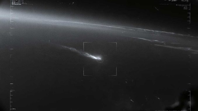
The United States is preparing Next Gen OPIR GEO, two infrared satellites to detect hypersonic missiles. Technology, costs, and space rivalries.
Summary
The U.S. Space Force is preparing to deploy the Next Generation Overhead Persistent Infrared GEO (Next Gen OPIR GEO), a new generation of missile-warning satellites built by Lockheed Martin. Positioned nearly 35,786 kilometers (22,236 miles) above Earth, they are designed to spot ballistic missile launches and improve the detection of maneuvering hypersonic weapons. Their multispectral infrared sensors, provided by Raytheon, aim to identify thermal signatures that are more difficult to track than those of traditional rocket motors. The first spacecraft was completed in January 2026, though its launch remains delayed; the second is scheduled for 2027. The program represents an estimated $8.5 billion in acquisition costs. It integrates into a U.S. architecture combining geostationary, medium Earth, and low Earth orbits. Facing this network, China and Russia operate their own warning systems, while Europe prepares an independent capability.
The United States Prepares Two Sentinels at 35,786 Kilometers of Altitude
The United States is not starting from scratch. Since 2011, Space Based Infrared System (SBIRS) satellites have monitored missile launches using their thermal signatures. However, the proliferation of hypersonic missiles and maneuvering weapons forces Washington to modernize this surveillance.
Launched in 2018, Next Gen OPIR GEO was entrusted to Lockheed Martin for the space vehicle and to Raytheon—a subsidiary of RTX—for the infrared instruments. The program now features two geosynchronous satellites, down from the three initially envisioned.
The first spacecraft was completed in January 2026. Raytheon announced the delivery of the second sensor in April. The initial launch, previously announced for 2025, has been pushed back to late 2026 at the earliest; some specialized schedules now project it for 2027. No launch had been confirmed as of November 11, 2026. The second satellite remains scheduled for September 2027.
In September, a $15.7 million contract modification raised the value awarded to Lockheed Martin to $8.3 billion. The total acquisition cost for the program is estimated at approximately $8.5 billion, expressed in 2023 dollars.
Infrared Sensors Detect Missile Heat from Space
At an altitude of 35,786 kilometers, a geostationary satellite orbits in sync with Earth. It thus continuously observes a vast region without waiting for a new pass over a launch site.
The Thermal Signature Reveals the First Seconds of Launch
When a missile lifts off, its booster emits intense infrared radiation. The satellite’s optics collect this radiation, and detectors convert it into electronic signals analyzed by software capable of tracking a moving heat source.
Processing must distinguish this phenomenon from clouds, fires, and ground thermal variations.
Raytheon’s instruments feature multispectral observation across four infrared bands. Comparing them makes it easier to differentiate a propulsion plume from natural emissions and characterize the detected event.
Lockheed Martin claims increased sensitivity, more frequent observations, and better discrimination of low-intensity targets. Exact wavelengths and performance specifications remain classified.
The Hypersonic Glider Poses a Far More Difficult Problem
A ballistic missile is particularly visible during its powered ascent phase. Afterward, its trajectory can largely be predicted from multiple observations.
A hypersonic glide vehicle follows a different profile. After separating from its booster, it travels through the atmosphere at speeds exceeding Mach 5—approximately 6,000 km/h (3,700 mph) depending on altitude—and can maneuver laterally.
Deprived of the intense plume of a rocket motor, it presents a lower thermal background contrast against a complex terrestrial background.
The challenge is therefore not merely its speed, but the ability to maintain its track after booster burnout.
Next Gen OPIR GEO is designed to improve this detection. However, it cannot, by itself, guarantee continuous tracking or routinely provide an engagement solution usable by an interceptor.
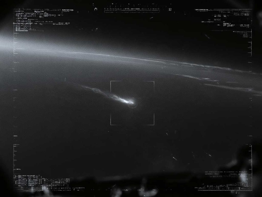
The LM 2100 Platform Enhances Satellite Attack Resistance
The satellites use the LM 2100 Combat spacecraft bus, featuring enhanced computing capabilities, modernized electronics, and cyberattack protections.
Its modular design allows it to accommodate additional payloads. Downlinks must simultaneously transmit multiple data streams back to Earth.
This data feeds into FORGE, the processing system designed to merge observations from different generations of satellites and distribute warnings.
A detection only becomes militarily useful if it can be confirmed, localized, and transmitted rapidly down the chain of command.
This investment nevertheless carries risks. In its July 2026 report, the Government Accountability Office noted an overrun of roughly $340 million at the payload supplier, linked notably to software complexity. The launch schedule carries virtually no remaining schedule margin.
U.S. Defense Now Combines Multiple Orbits
Geostationary satellites offer continuous surveillance, but their distance complicates tracking faint targets. Their limited number also makes them vulnerable to antisatellite attacks or jamming.
Washington is therefore supplementing them with medium Earth orbit (MEO) and low Earth orbit (LEO) constellations.
Sensors closer to Earth are intended to improve resolution and enable the recovery of observations when a hypersonic glider alters its trajectory.
The Space Development Agency is developing an architecture comprising hundreds of low-Earth-orbit surveillance and communication satellites.
In medium Earth orbit, BAE Systems is building ten Epoch 2 satellites, with initial deliveries slated for 2029.
This complementarity is fundamental: detecting a launch does not mean intercepting a missile.
Operators must maintain the track, anticipate possible maneuvers, and transmit actionable data to radars and antimissile weapons.
The U.S. Golden Dome layered missile defense project relies heavily on this continuity.
The American debate also concerns polar coverage. The 2027 budget proposes canceling the two Next Gen OPIR Polar satellites, developed by Northrop Grumman, in favor of the new constellations. Several lawmakers oppose this decision, fearing a degradation of strategic warning capabilities.
China and Russia Develop Their Own Space-Based Warning Networks
Since 2015, China has deployed geostationary satellites of the Tongxin Jishu Shiyan (TJS) family, which open-source analysis associates with infrared missile detection.
According to a study published in 2026 by the Foundation for Strategic Research, three to four Chinese satellites may contribute to this mission.
Their coverage appears less redundant than that of the United States, but their actual capabilities remain secret. In parallel, Beijing is developing a network of long-range ground-based radars.
Russia relies on EKS, also known as Kupol, using Tundra satellites placed in highly elliptical orbits.
Six launches had been recorded by early 2026, and roughly four satellites remained operational, according to Russian Strategic Nuclear Forces.
The system, paired with Russian ground radars, maintains a strategic nuclear warning function. Its actual capability to track maneuvering hypersonic gliders remains difficult to assess.
Europe Seeks to Reduce Its Reliance on U.S. Satellites
Europe does not yet possess an independent operational constellation equivalent to SBIRS.
France experimented with two Spirale microsatellites in 2009 without pursuing the deployment of an operational system.
Germany tested its ERNST 12U demonstrator in 2025, equipped notably with an infrared camera.
In October 2025, Paris and Berlin launched JEWEL (Joint Early Warning for a European Lookout), an initiative under which each nation deploys one or two interoperable geostationary satellites.
An initial capability is targeted for the early 2030s. It is meant to complement Odin’s Eye and European TWISTER efforts concerning missile warning and interception.
This initiative addresses a major strategic dependency: European states still rely heavily on U.S. space data to detect a missile launch rapidly.
Mastery of Space Warning Becomes Critical for Deterrence
Next Gen OPIR GEO is not a missile defense shield. It represents the first link in a chain where sensors, algorithms, communications, and interceptors must work together.
Faced with a weapon traveling at several kilometers per second, a few lost seconds in identifying a threat can drastically reduce reaction options.
Conversely, a false alarm could trigger a major crisis between nuclear-armed powers.
True superiority will therefore not depend solely on the number of satellites or their sensitivity, but rather on the reliability of the entire detection-and-decision chain.
The United States retains a considerable lead in this domain. Its current challenge lies in transforming that technological superiority into a network resilient enough to operate against maneuvering missiles and attacks on its own space infrastructure.